DATA CENTRE
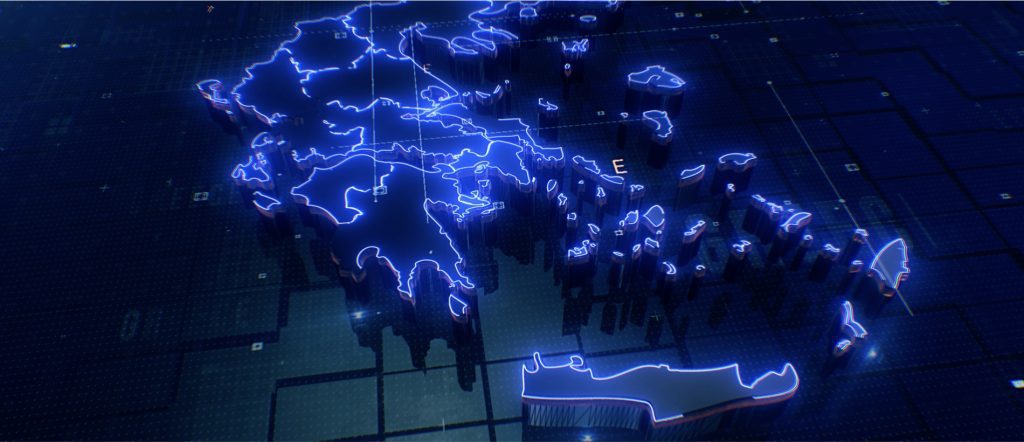
HEREMA is transforming and digitalising the collection, analysis, and storage of technical data on Greece’s subsurface and seas.
We provide data and technical information on energy resources in Greece’s subsurface and seas, including the exploration and production of hydrocarbons, offshore wind, and possible CO2 and energy storage sites. This data is essential for the operations undertaken across the Greek territory aimed at realising the country’s potential as a leading source of energy and driver of carbon abatement.
Our database includes:
Depending on the type of data (i.e., geological, geophysical and engineering data), HEREMA can produce reports for interested parties regarding the potential of specific locations for hydrocarbon discoveries, CCS/UGS sites, and offshore wind locations. Data is also used to promote scientific research and monitor production and drilling activities across the country.